Best Hikes in Pemberton: Exploring the North Sea to Sky
Pemberton is a small community located in the Pemberton Valley in the province of British Columbia, Canada. It is situated approximately 135 km (84 miles) north of Vancouver and about 32 km (20 miles) north of Whistler. Pemberton is surrounded by stunning mountains, including Mount Currie, and is home to several lakes and rivers, including the Lillooet River and One Mile Lake. The area is known for its natural beauty and outdoor recreation opportunities. Perhaps an area less commonly hiked that Whistler or Squamish, Pemberton and the surrounding area is full of some stunning, wild landscapes and areas definitely worth checking out, here are a list of a few personal favorites and places to consider when planning your next hike!
MT.Currie (Hard)
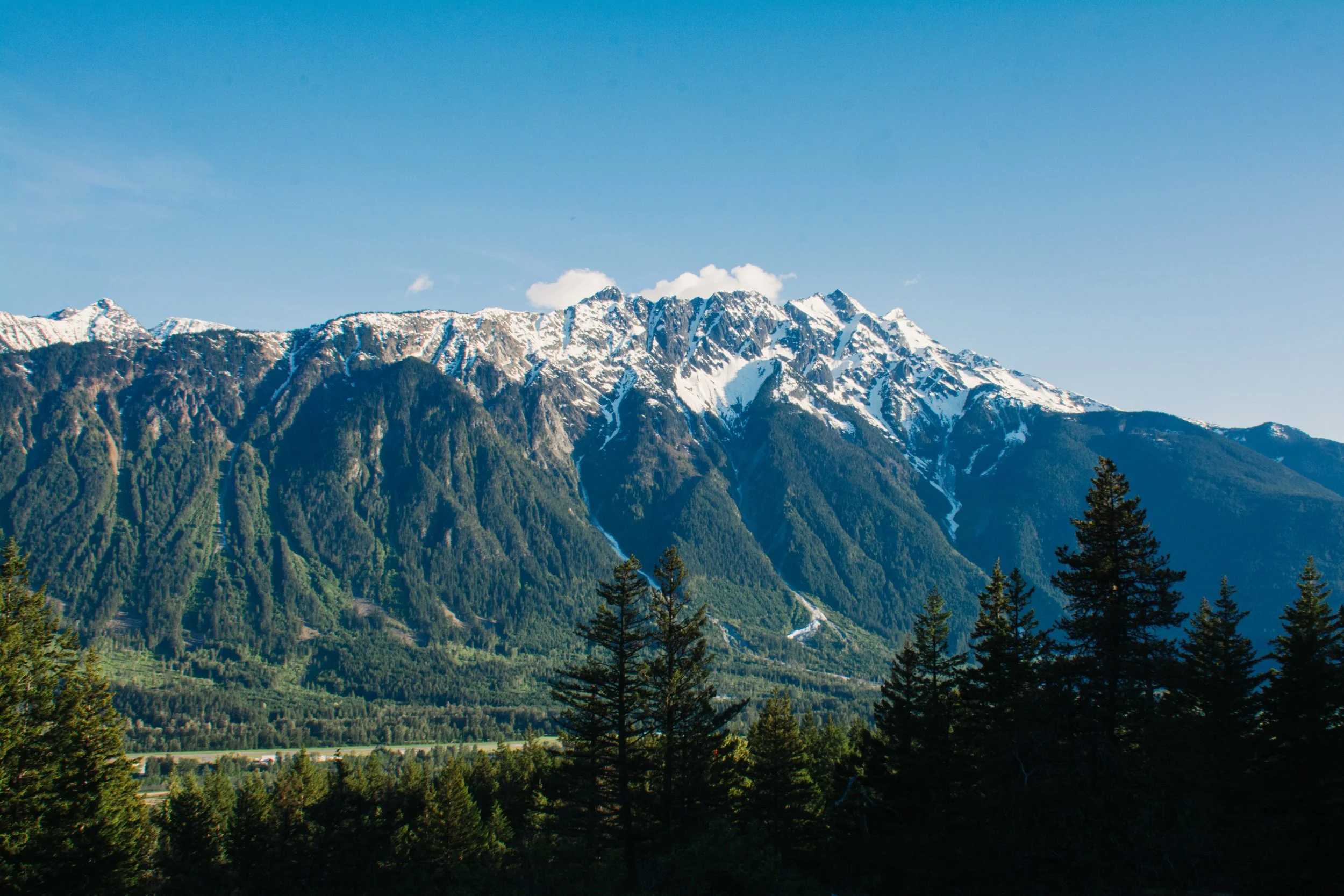
Mount Currie is a prominent mountain located in the Pemberton Valley of British Columbia, Canada. It's a popular destination for hiking enthusiasts, offering stunning views of the surrounding landscapes. The hike up Mount Currie is a challenging one (maybe the hardest on the list) and it's important to be well-prepared before attempting it as no fresh water is available on the hike requiring tabs or filters for drinking
The trailhead for the hike is located on the east side of the Pemberton Valley, off of Highway 99 at the turning for the green river motocross track. The trail is approximately 20.3km out and back and gains around 1,350 meters of elevation. It's recommended that hikers allow 1-2 days to complete the hike (depending on if heading to the campsite or too the summit), and that they have proper footwear, clothing, overnight gear and supplies.
The hike itself is steep and strenuous, with much of the trail being through dense forest. There are a few sections of rock scrambling towards the top, and the final ascent is a quite steep talus field, having you navigate large boulders and rocks. However, once hikers reach the summit, they'll be rewarded with incredible views of the Pemberton Valley and surrounding mountains, on a good day you can even see Mt.Baker in the distance
It's important to note that this is a backcountry hike, and hikers should be prepared for changing weather conditions and potential hazards such as loose rocks and steep drop-offs. It's recommended that hikers bring plenty of water, food, and warm clothing, and that they tell someone their planned route and expected return time before setting out.
Tenquille Lake (Hard)
The Tenquille Lake hike is a less commonly hiked located in the Pemberton area of British Columbia, Canada. The hike takes you through beautiful alpine meadows, past streams and waterfalls, and ends at the stunning Tenquille Lake. The trail is approximately 20.9km round trip and is rated as moderate to difficult due to the elevation gain of 1586m
The trailhead for the hike is located on the Lillooet Forest service road about a 25 minute drive from Pemberton in the Pemberton meadows (50.502880, -122.967720). The trail begins with a gradual incline through a forested area, before opening up to beautiful meadows with views of surrounding mountains. As you continue up the trail, you will pass several streams and waterfalls before reaching the lake.
The lake is a beautiful turquoise color and is surrounded by snow-capped peaks. There is a camping area at the lake, so many people choose to stay overnight and explore the area further.
Be Aware that this is Grizzly bear habitat, bear spray is highly advised and Hiking with caution is a must, its also worth mentioning that dogs are not allowed on this trail so leave pup at home.
Joffre Lakes (moderate)
The Joffre Lakes hike is a popular hiking trail located near Pemberton, British Columbia, Canada. The trail offers stunning views of 3 turquoise blue glacial lakes and surrounding mountains, making it a must-do in the Pemberton area but you must reserve a free day-use permit before arriving at BC parks (Discovercamping.ca)
The trailhead for the Joffre Lakes hike is located approximately 35 kilometers east of Pemberton on Highway 99. The trail is approximately 7.5 kilometers long roundtrip and gains around 491 meters of elevation. The hike is rated as moderate difficulty and is suitable for most hikers, including families with children.
The trail starts in dense forest and gradually climbs towards the first lake, Lower Joffre Lake. The lake is a beautiful shade of blue and offers great photo opportunities. The trail then continues towards Middle Joffre Lake and Upper Joffre Lake, each with their own unique features and stunning views of ridges, glaciers and forest
It's recommended that hikers allow around 4-5 hours to complete the hike, and that they have proper footwear, clothing, and supplies. Hikers should also be aware that the trail can be quite busy during peak season, so it's best to arrive early in the day to avoid crowds.
It's important to note that the Joffre Lakes hike is in a backcountry area and hikers should be prepared for changing weather conditions and potential hazards such as slippery rocks and steep drop-offs. It's recommended that hikers bring plenty of water, food, and warm clothing, and that they tell someone their planned route and expected return time before setting out. If not intending to do this hike in peak summer season it is advisable also to consider snow spikes as a little bit of snow/ice can remain on the trail for a significant duration of early season hiking, it will make it easier to come down (on your feet rather than backside). No dogs allowed since 2018
Semaphore Lakes (Moderate)
Semaphore Lakes is a beautiful alpine destination located in the South Chilcotin Mountains Provincial Park. The park is known for its stunning alpine scenery, glacier-fed lakes, and rugged mountain terrain.
The trailhead for the Semaphore Lakes hike is located at the end of Gun Creek Road, approximately 22 kilometers west of Gold Bridge or from Pemberton head up the Hurley FSR until the 14KM mark and park at the pullout on the left. (50.590510,-123.017770)
The hike is approximately 6 kilometers roundtrip and gains around 400m meters of elevation, making it a moderately difficult hike. The trail offers beautiful views of the surrounding mountains and valleys.
The hike starts in dense forest and gradually climbs towards the first lake, Semaphore Lake. The lake is a beautiful turquoise color and offers stunning views of the surrounding peaks. The trail then continues towards the second lake, known as the upper lake, which is even more picturesque than the first.
It's recommended that hikers allow around 3-4 hours to complete the hike, and that they have proper footwear, clothing, and supplies. The area is remote and there are no facilities, so hikers should bring plenty of water, food, and warm clothing. Hikers should also be aware that the trail can be quite rocky and steep in places, so caution should be exercised.
It's important to note that the South Chilcotin Mountains Provincial Park is a wilderness area, and hikers should be prepared for changing weather conditions and potential hazards such as wildlife encounters and sudden storms. It's recommended that hikers bring a map and compass, and that they tell someone their planned route and expected return time before setting out. No dogs allowed
One Mile Lake (Easy)
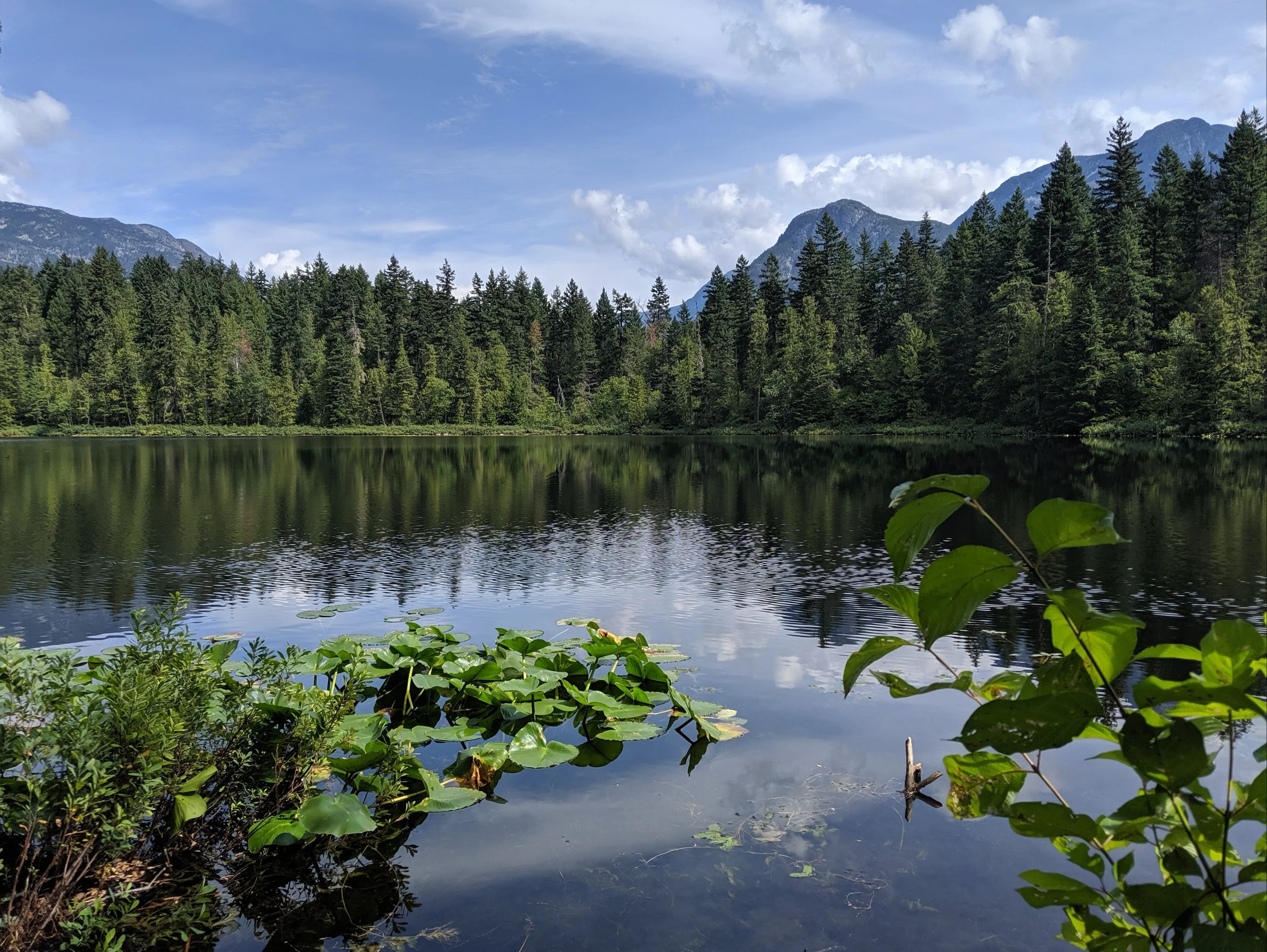
One Mile Lake is a popular recreational area located in the Pemberton Valley of British Columbia, Canada. The lake is approximately one mile (1.6 km) in length and is surrounded by a beautiful walking trail, picnic areas, and a beach area for swimming.
The lake is a popular spot for swimming and paddling during the summer months. There are also several fishing opportunities available on the lake, with species such as rainbow trout and kokanee salmon found in the water.
The walking trail around the lake provides stunning views of the surrounding mountains and the lake itself. The trail is flat and well-maintained with a boardwalk section allowing access through the marshland, making it a great option for all skill levels. Along the trail, there are several benches and picnic tables where visitors can stop and enjoy the scenery.
The lake is located just off Highway 99 as you enter Pemberton from the South (Whistler) with ample parking on site, Dogs allowed and toilet facilities.
Mosquito Lake and Mt Currie Viewpoint (EASY)
To access Mosquito lake, head toward Owl creek just north of Mt Currie east of Pemberton along highway, turn off at Reid road and take the first left turning onto linda Rd parking right by the lake!
The lake is a great spot for fishing stocked with rainbow trout and kokanee salmon, making it a popular spot for fishing. Visitors can also swim in the lake, although it is important to note that there is no designated beach area., swimming, and other water-based activities, and is surrounded by beautiful forested areas.
There are several hiking trails that can be accessed from the Mosquito Lake area, including the trail to a fantastic Mt Currie lookout, which offers stunning views of the surrounding mountains and the valley below.
Be aware that the lookout is on a Mountain bike shared trail called (Creampuff) so always remain vigilant when heading to the spot and show respect to any riders using the trails aswell.
(5.33037 N, 122.73906 W)


